The City of Paso Robles has several short but rewarding hikes on city-owned property.
El Paso de Robles, or the “Pass of the Oaks” beckons your easygoing trail spirit with a variety of mostly flat hikes leading through live oak tree groves, along the Salinas River corridor and in the wide open spaces of the surrounding Los Padres National Forest.
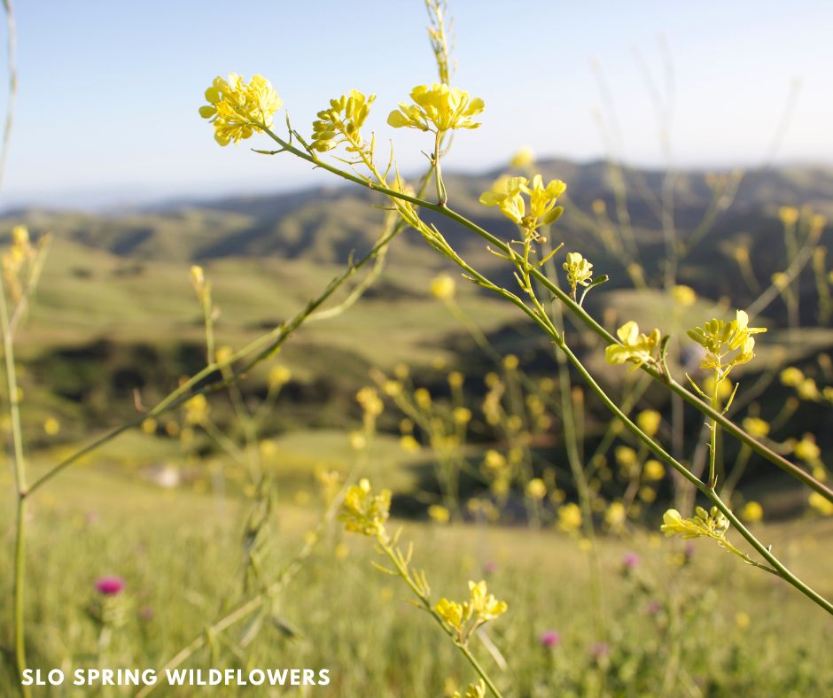
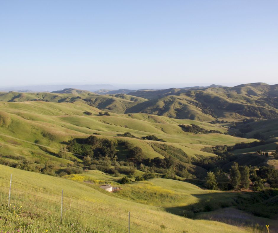
Mustard grass and lush spring grasses carpet the hills in beautiful Paso Robles, Calif.
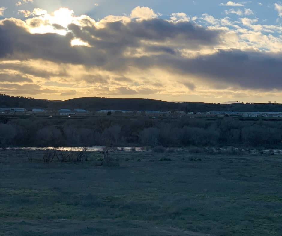
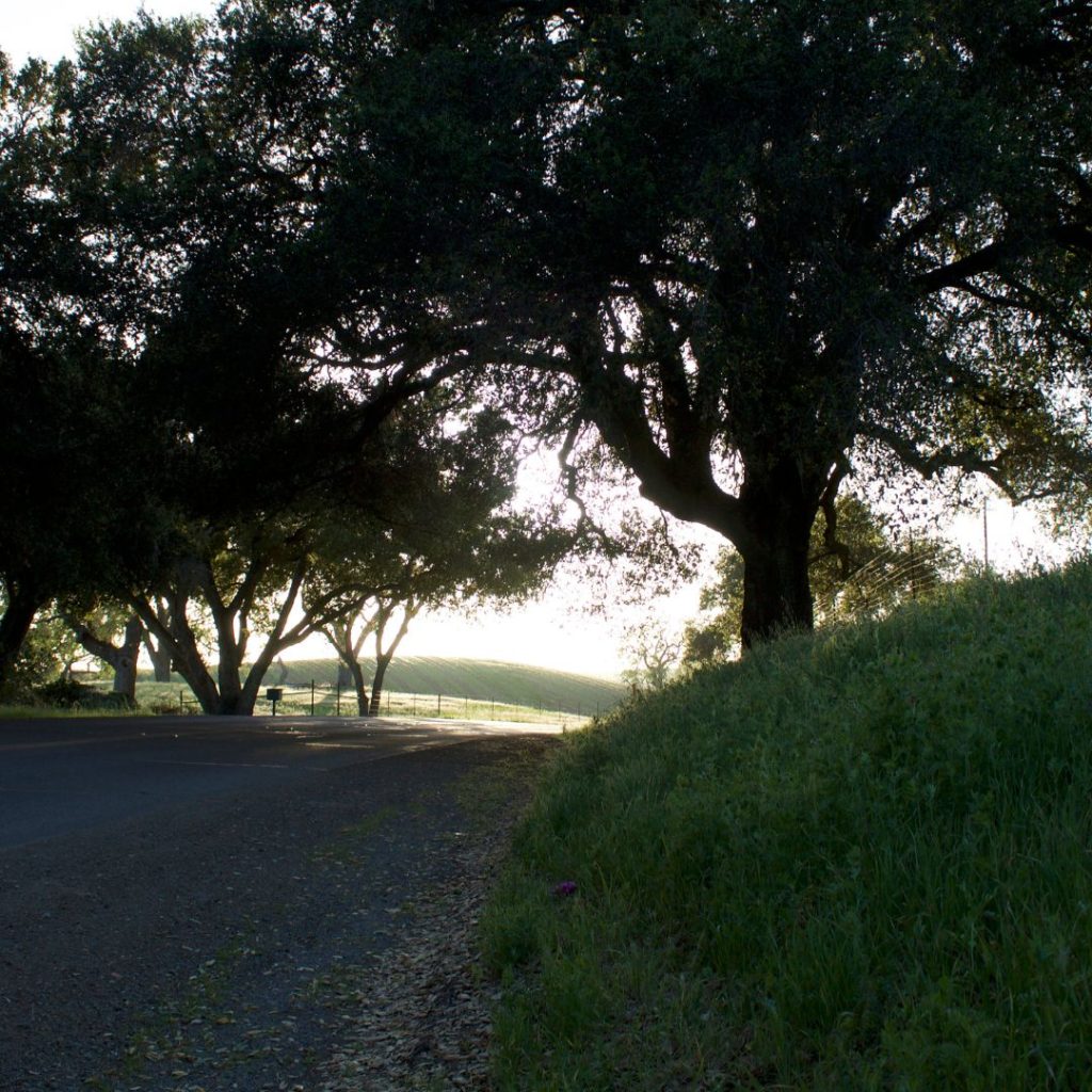
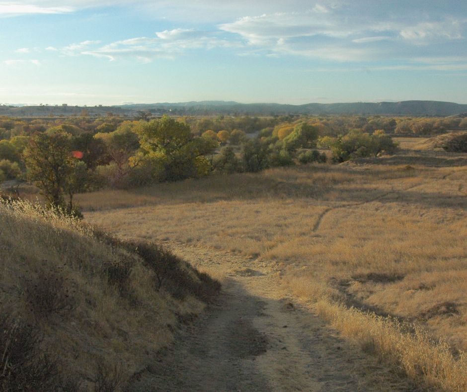
Viewsheds from the Salinas River corridor are likely to expand into the future under the city’s “Follow the River: Follow the Dream” policy framework, which aims to provide more connectors and pedestrian access along this thoroughfare utilized by Native Americans for hundreds of years. Pictured, the Salinas River corridor along the Salinas River Walk within city limits.
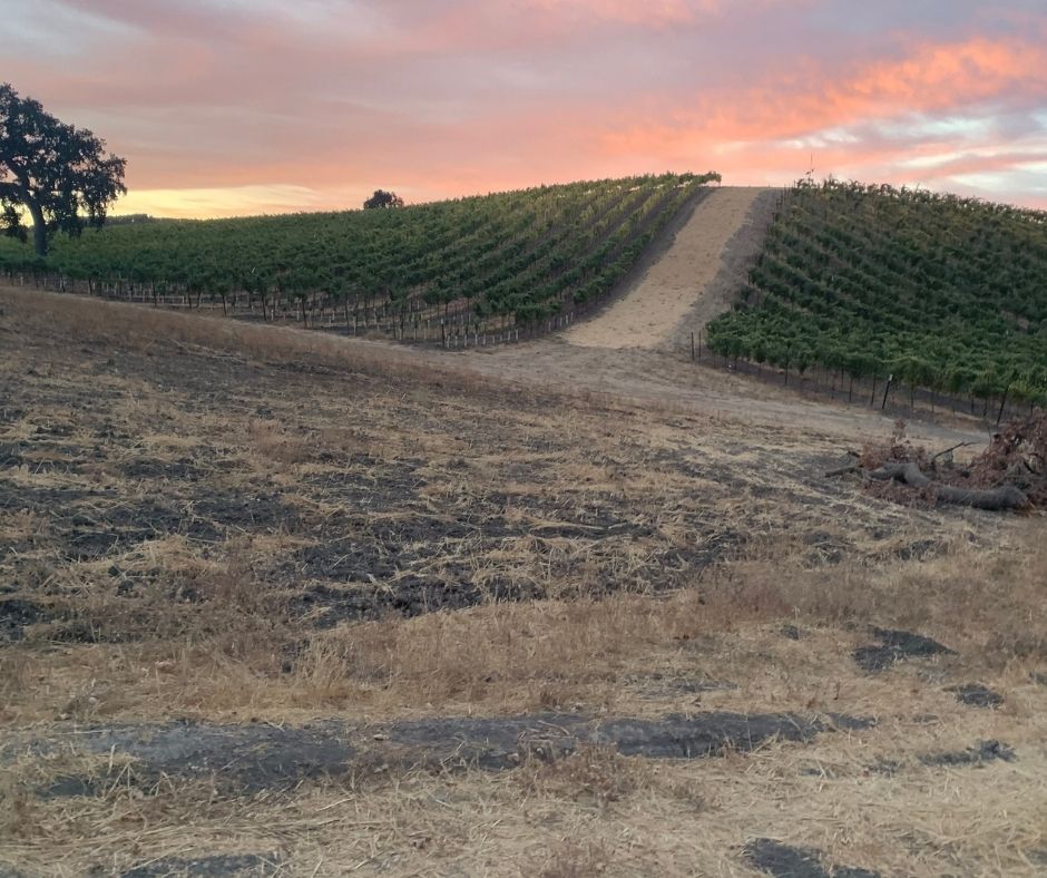
Highway 46 West sunsets are Rhone-forgettable. That is: unforgettable for the tourists and visitors who flock from nearby locales in San Francisco, and greater Los Angeles regions to taste acclaimed wines from the west Paso Robles American Viticultural Areas.
For wine enthusiasts, Paso Robles is likely most well-known for its wines. There’s more. Just outside the doorsteps of Paso Robles wineries, a bounty of outdoor opportunities await you. From hiking in the city-owned and maintained trails systems to exploring the vast expanses of the flanking Los Padres National Forest, the region is fast establishing itself as an outdoors paradise for the explorers-at-heart.
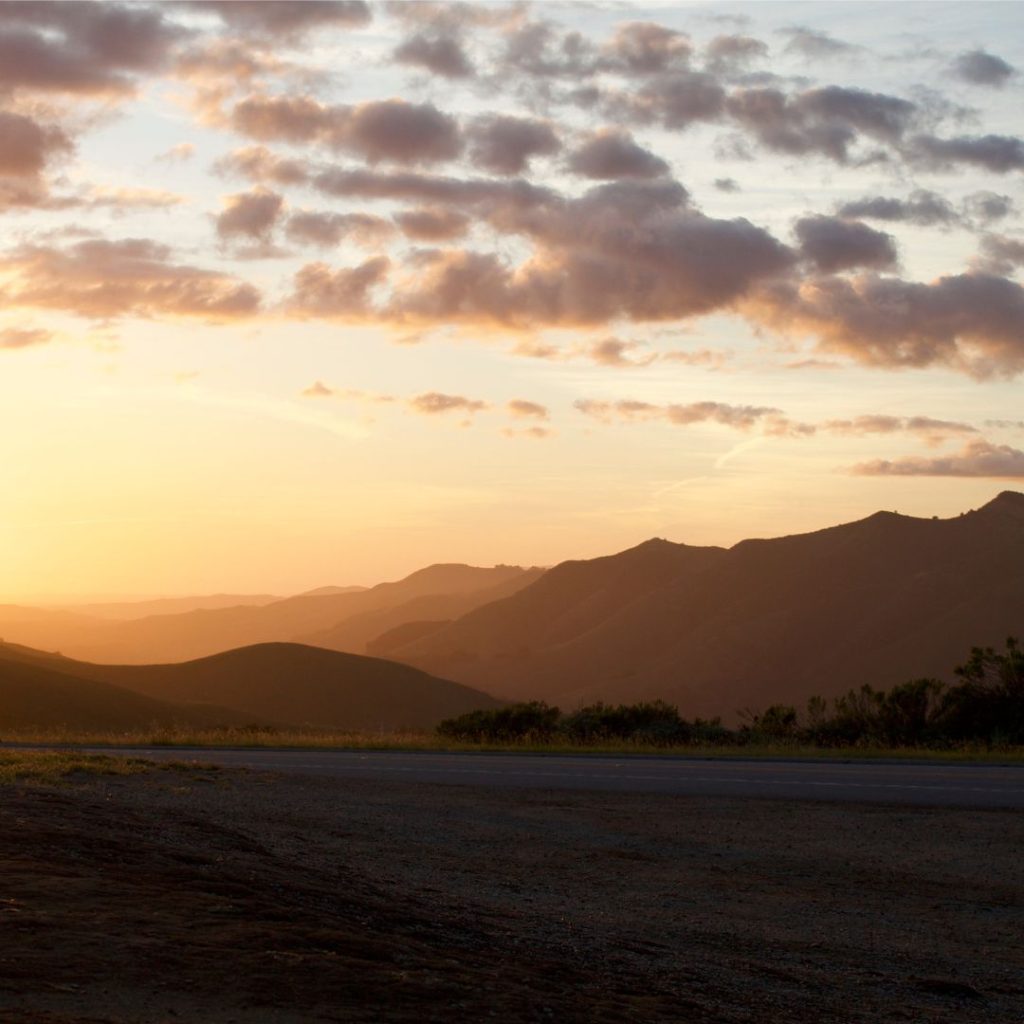
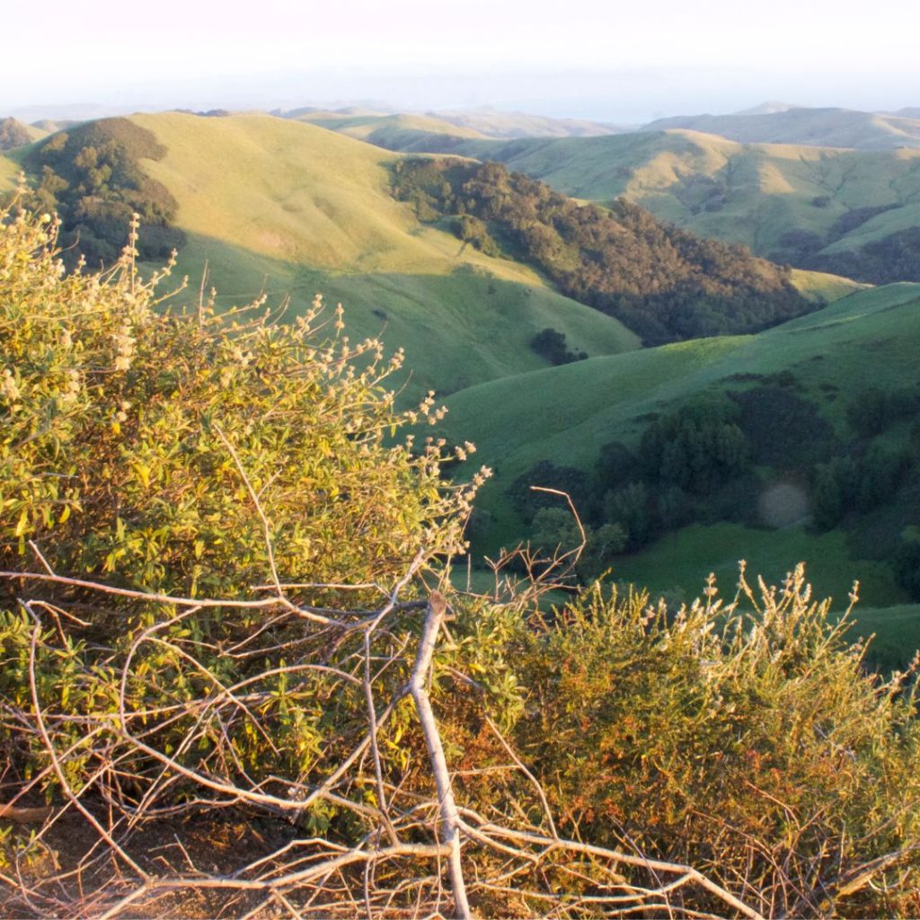
Photographers from around the state of California flock to the top of Highway 46 West to take panoramic photos of the lush, green landscape looking over Middle K – or “Middle Kingdom” – ranch. When hiking in Paso Robles, be sure to bring your lens!
Running east-to-west and connecting the rural area of Paso Robles is Highway 46 West. Unforgettable and a landmark in and of itself in rightful eyes, the views from atop this main coastal arterial are a must-see for every hiker headed to the coastal community of Cambria, Calif. north and Cayucos or Morro Bay, Calif. south. The southernmost crossing of the Diablo Range, it offers visitors the chance to connect Highway 1 with Highway 101.
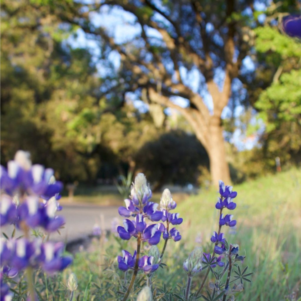
Vineyard Drive in Paso Robles gives wine tasters access to popular westside wineries along Tablas Creek and near Lake Nacimiento. For cyclists, these routes offer sanctuary and awesome views – especially in spring when the grass is green and wildflowers dot the landscape in a Monet fashion of purple and yellow hues.
Purple lupine come to life along the verdant hills of Paso Robles.
Ranches dot the landscape atop Highway 46 West in Paso Robles, Calif. For people looking to get epic views from atop a relatively nice incline, I’d highly recommend driving it.
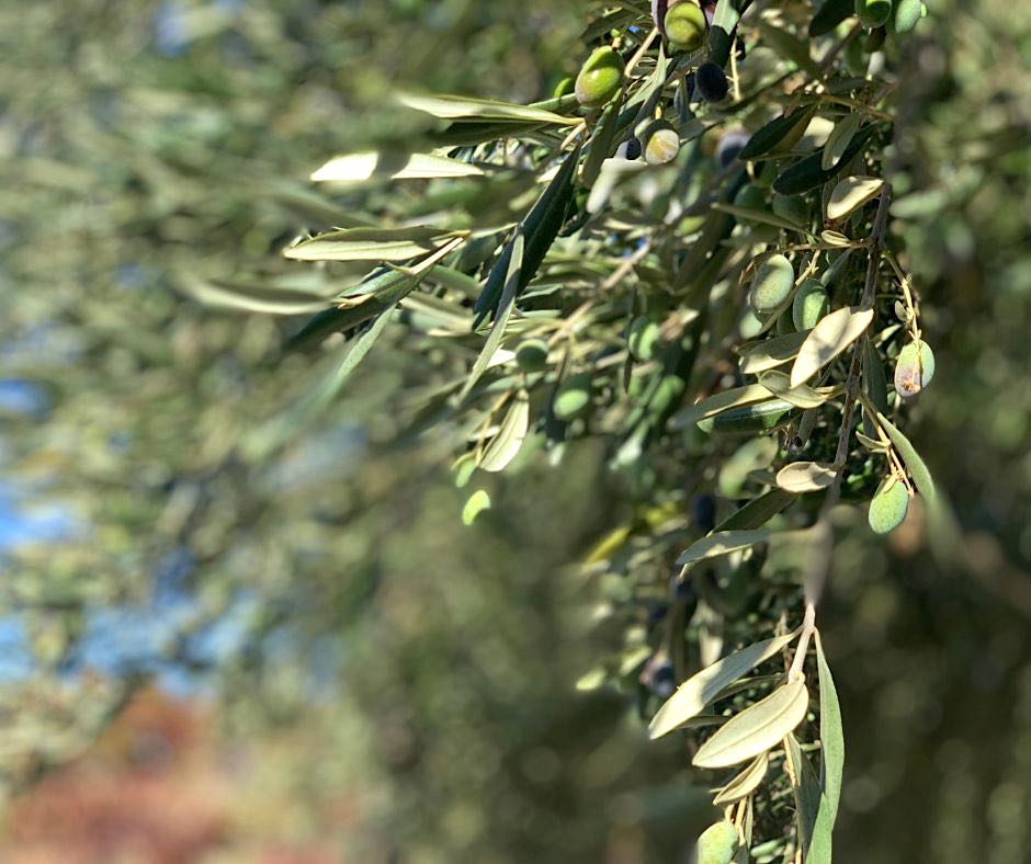
Olives and Paso Robles are synonymous with a textbook vineyard experience.
San Miguel, just a few miles north of Paso Robles, has some off trail options such as the Big Sandy Wildlife Recreation Area.
Trails run wild along the Carissa Plains – about 1 1/2 hour drive east toward the Carrizo Plain National Monument.
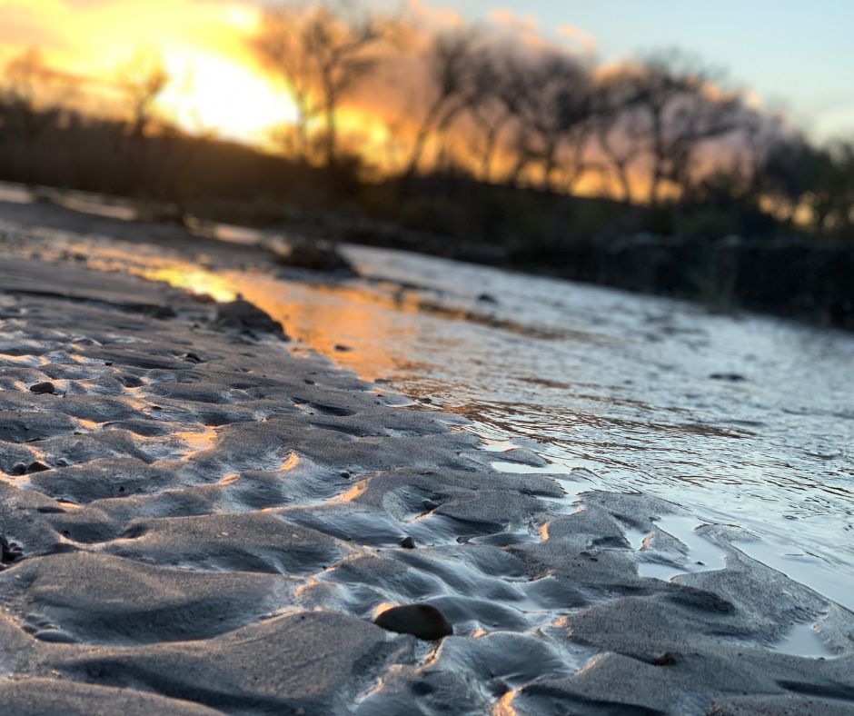
Salinas River in Paso Robles oftentimes gets full with water in the hard winter rains, so hiking is not advisable especially off trail.